by HPA | Aug 26, 2011 | All News, Cessna Articles, Cirrus Articles, Garmin Articles, Training / Education
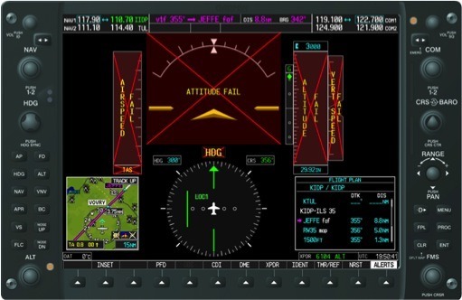
I was in hard IFR, 400 foot ceilings and a mile visibility. I had just passed the initial approach fix on the ILS. On this particular ILS approach, I had to follow an arc that led me to the final approach course from the initial approach fix. The approach was briefed and loaded into the G1000 and I thought all I had to do was just keep the needles centered. Then, BAM! Red X’s started showing up everywhere on my PFD. Altitude, airspeed, vertical speed, all gone. The attitude indicator and my heading information were both inoperative as well.

by HPA | May 11, 2011 | All News, General News, Press Releases
The Master Instructors LLC takes pride in announcing a significant aviation accomplishment on the part of Brandon J Ray, the owner of High Performance Aviation and a resident of Conroe, Texas…
by HPA | Apr 8, 2011 | All News, Product Reviews, Training / Education
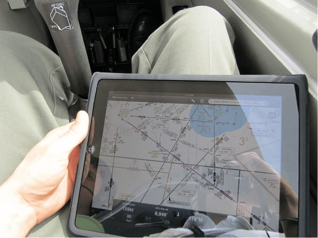
Technology is constantly changing the way that people access information. The same is true of pilots in the cockpit. Modern avionics systems often work with data subscriptions that are capable of providing weather information as well as terminal procedures charts…

by HPA | Mar 29, 2011 | All News, Cessna Articles, General News, Press Releases
Featuring the new Garmin G2000 Intrinzic flight deck with touchscreen controllers and 14.1″ displays. New leather seats; Garmin GTS-800 Traffic Advisory System; Garmin ESP; L-3 Trilogy backup instruments; ADS-B capability.
by HPA | Jan 24, 2011 | All News, Training / Education
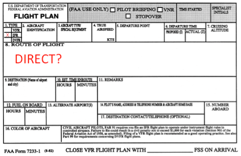
Before the advent of GPS, IFR flight plan routes were fairly limited. Pilots generally had to stay on airways or remain within the standard navaid service volumes if venturing off airway. Now a huge number of pilots are able to file /G on their IFR flight plans, meaning that the airplane has GPS and/or WAAS (Wide Area Augmentation System) with en route and terminal capability.
So, how does a pilot file IFR direct using GPS? The easiest way is to just put DIRECT in the route portion of your flight plan form, but is it the correct way? Let’s investigate.
